Local Government
On-Line Parcel Conditions and Permit History
Application for
the City of Berkeley, CA
 Many
business processes within local governments depend on map-based
reports of parcel conditions and permit history. For example, building
inspectors in planning/engineering departments rely on these reports
for important pre-site inspection information about a particular
structure, such as fire hazard, earthquake, and flood zone regulatory
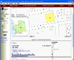
status. The City of Berkeley (COB) Parcel Conditions and Permit
History Application (aka "Parcel Popper") enables staff from any
department to quickly generate and print these reports for any parcel
in the city. The application is built with MaplicityJSP, which is
both a seamless fit within COB's existing IT infrastructure and
enterprise GIS (ArcIMS, ArcSDE, MS-SQL), and also permits the City's
GIS/IT staff to maintain and/or modify the app using standard JSP
and the MaplicityJSP codebase. The City's IT Department has since
modified the original application to create six (6) additional variants
of the app which streamline other specific business processes within
the Planning, Engineering, and Public Works Departments, as well
as a public web accessible version of the original application.
The MaplicityJSP application and its derivatives save the City approximately
40 staff hours each month.
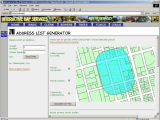
On-Line Parcel Notifier Application for the
City of Berkeley, CA


