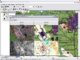
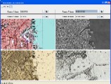
MultiViewer™ provides powerful synchronized visualization of multi-source and multi-temporal geospatial content. Previously, such capabilities required highly specialized image processing software and training. MultiViewer is currently available for web deployment as an add-on to Maplicity (MultiViewer On-Line), for desktop GIS implementations as a plug-in for industry standard mapping/GIS software (MultiViewer for ESRI's ArcGIS), or as part of a custom solution (MultiViewer Custom).
MultiViewer™ recently received Frost and Sullivan's Customer Value Enhancement Award for the Geotechnologies Industry! Read more... (PDF)
 |
 |
| MultiViewer for ArcGIS | MultiViewer On-Line |


